Chasing the Sea of Clouds: A Guide to Hiking Mount Sumbing via Gajah Mungkur

January 19, 2026(The Sightseer)
Mount Sumbing, the second-highest peak in Central Java, is a dream destination for hikers. While there are several routes to reach its 3,371-meter summit, Mount Sumbing via Gajah Mungkur offers a unique blend of "vertical" challenges and some of the most photogenic ridges in Indonesia.
If you are planning your next adventure, here is a glimpse of what to expect on the Gajah Mungkur trail through three breathtaking perspectives.
1. The Famous "Land Above the Clouds"
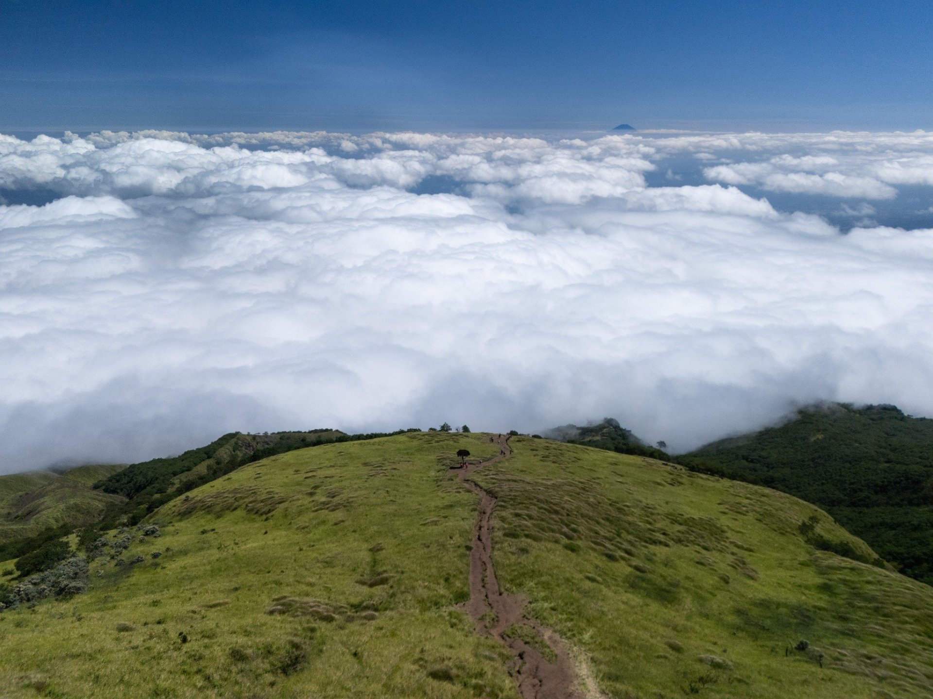
The Gajah Mungkur route is famous for its long, open ridges. As you push through the upper sections, you are often greeted by a massive "Sea of Clouds" (Samudra Awan).
In this first shot, the trail looks like a narrow spine cutting through the vibrant green grass. The contrast between the deep blue sky and the thick white blanket of mist below is why Sumbing is often called the "Land Above the Clouds." From this height, you can truly feel the immense scale of Java’s volcanic landscape.
2. The Unique Terraced Campsite
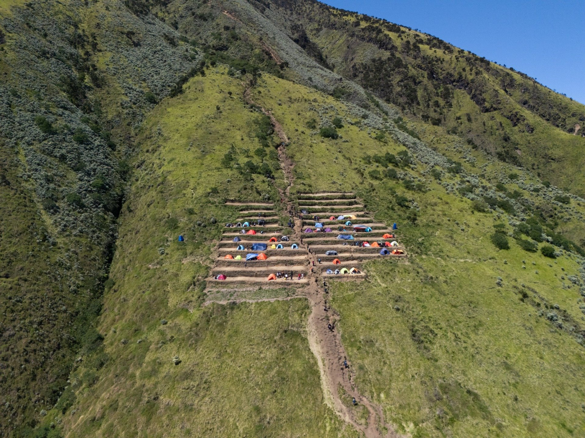
One of the most distinctive features of the Gajah Mungkur and Kaliangkrik area is the terraced campsite. Unlike the cramped, rocky spots found on other mountains, the camping ground here is neatly organized into man-made terraces.
This drone perspective shows how hikers "stack" their colorful tents against the steep slope. Not only does this look incredible from above, but it also provides every hiker with a "front-row seat" to the sunrise without any tents blocking the view. It’s arguably one of the most aesthetic campsites in all of Indonesia’s mountains.
3. Walking the Dragon's Back
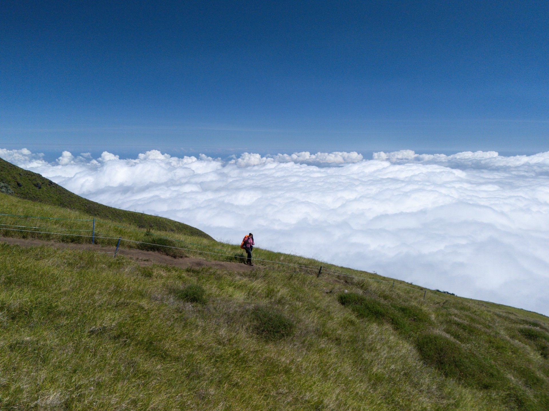
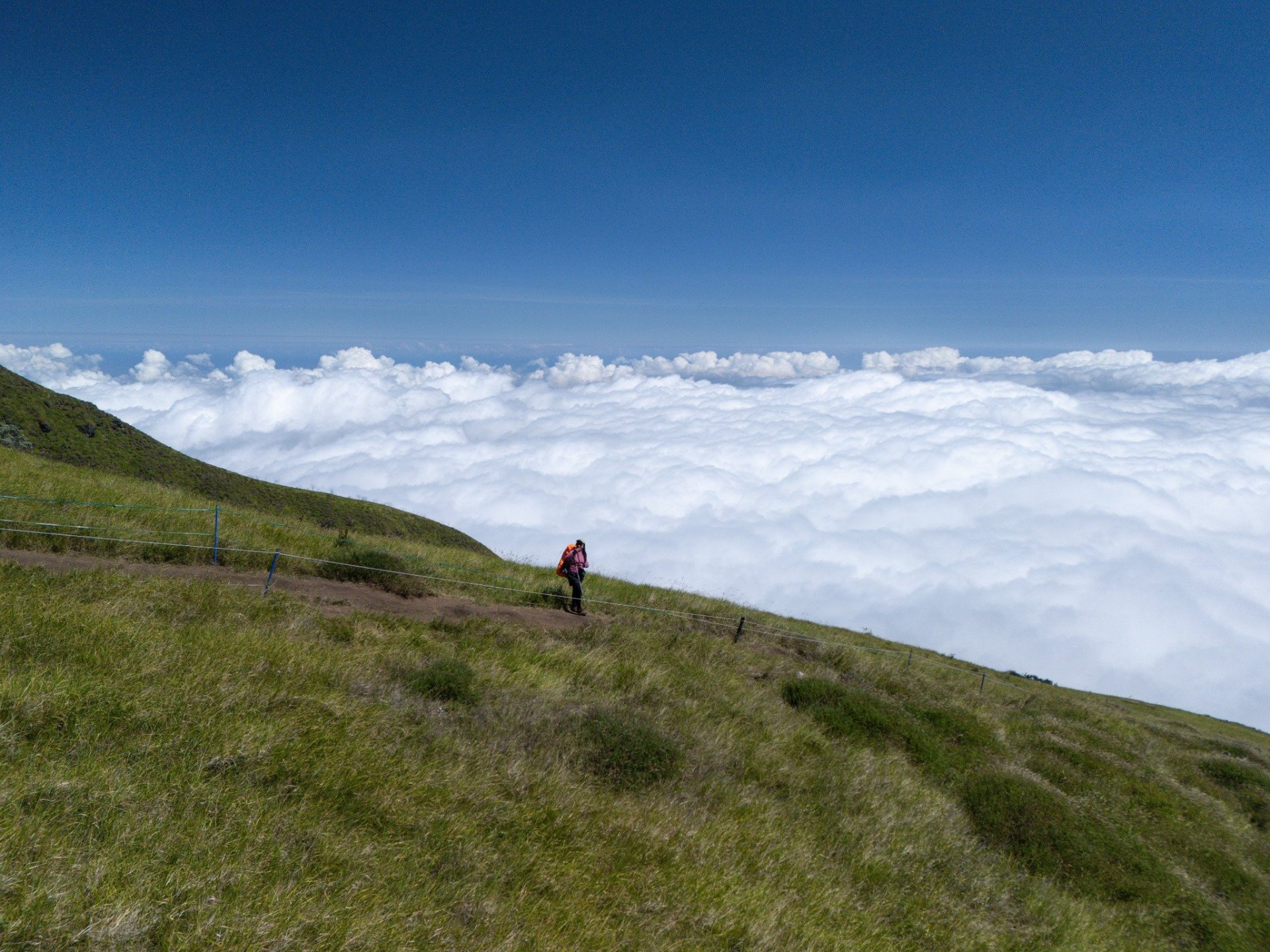
The Gajah Mungkur route is not for the faint of heart. It is known for being a "vertical" track with very few flat sections. This photo captures the essence of the trek: a single hiker navigating the narrow ridge with safety ropes.
Walking here feels like walking on the back of a giant green dragon. With a steep drop on one side and a panoramic view of the clouds on the other, this section of the trail is where you find the perfect mix of adrenaline and serenity.
Why Choose the Gajah Mungkur Route?
•
Best Views: The ridge-heavy trail means you get clear views almost the entire way up.
•
Photographer’s Paradise: The terraced campsites and open slopes are perfect for drone photography.
•
Less Crowded: Compared to the Garung route, Gajah Mungkur offers a more peaceful experience with nature.
Quick Tips for Your Hike:
•
Physical Fitness: The "Gajah Mungkur" trail is steep. Focus on leg strength and cardio before your trip.
•
Best Time to Visit: Aim for the dry season (June to August) to get that perfect sea of clouds.
•
Local Wisdom: Always respect the local guidelines and "Porter" services available at the basecamp to support the local economy.
Practical Travel Tips
- How to get thereMost locations are accessible via central public transport or local taxi apps. Plan your route in advance.
- Best time to visitEarly morning or late afternoon to avoid peak crowds and capture the best lighting.
Local Culture
- Always ask for permission before taking photos of local residents.
- Carry small cash for traditional markets or street food vendors.
- Dress respectfully when visiting historical or religious sanctuaries.
Related Stories
No related stories found.
Top Experiences
No experiences found.
Forums Community
Join the forum community.
Upcoming Meetups
No meetups scheduled.
Inspired by this story?
Discover amazing local experiences and read more authentic travel journals from around the world.
Verified Real-World Travel Report
This travel story serves as a real-world case study for neighborhood exploration. The contributor has personally visited the site, verified transportation costs, and documented safety protocols to ensure accurate, resident-verified guidance for future community travelers.
Verified Sources & Geolocation References▼
This travel guide incorporates details verified against official geolocation databases and international guidelines: